Groundsure.io – free? Why on Earth would we do that?

For a long time the notice read that it was to be decommissioned.
Then, following a Defra ministerial request in September last year which raised concerns from users, a short stay of execution was earned.
But now finally, the much used if not completely loved What’s In Your Backyard (WIYBY) site from the Environment Agency is no more. With a touch of deserved sentimentality the site now reads “After 20 years, What’s In Your Backyard is closing”. The maps it featured are gone, with the various data spread to the wind. Well, to a variety of new homes: some on new, purpose-specific map pages, some on the MAGIC map site and some available to download and do with what you will – if you are so inclined, that is.
At Groundsure, it has been a long-held ambition to make the most of improved data availability, and provide the industry with an open environmental data viewer. Having said that, suitably justifying any investment has always been rather a hard sell (“Free? Why on Earth would we do that?”). Further research into how the industry had used WIYBY however, has shown that there is no conflict, competition or ‘cannibalisation’ for us to worry about. In fact, there is real benefit in our involvement earlier in the workflow of a project – before a contract is won and our traditional source of value – the good old PDF – is required.

We are also aware that a segment of the industry will sort themselves out with the information they need. After all, much of the data is free and can be sourced with a little digging. However something we can provide above and beyond open source options like QGIS or Google Maps, and licensed GIS products like Arc or MapInfo is a better user experience and simple online access. On top of the fact that we can do the sourcing, processing and in some cases licensing of data so you don’t have to, making things much more straight-forward for time strapped professionals.
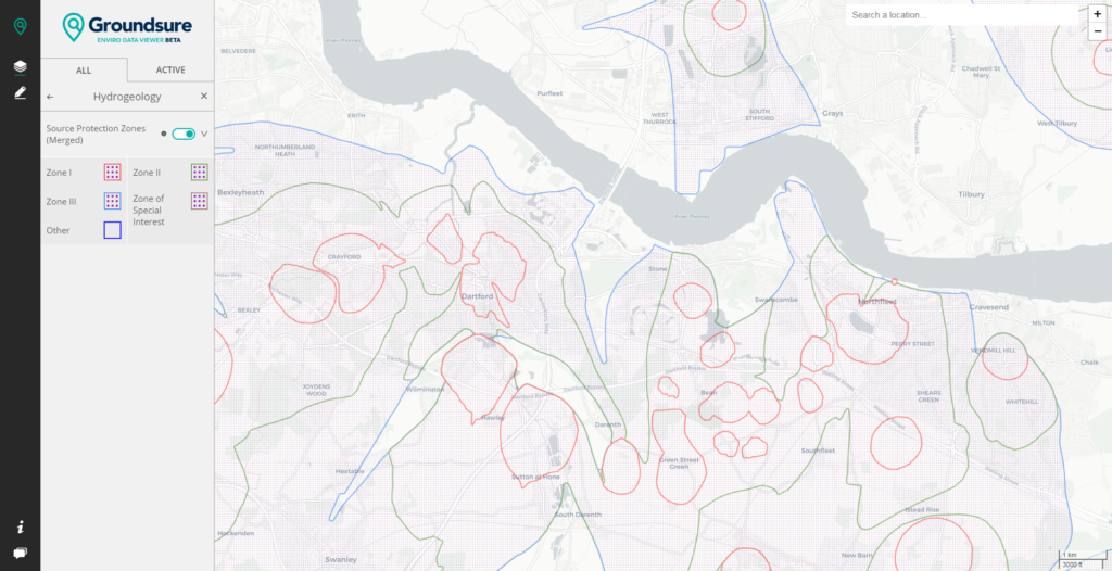
And so we are developing groundsure.io – an open environmental data viewer. It is currently a work in progress, but already being used by a hardy group of pioneers/guinea pigs. The site currently hosts data on flood risk and flood defences, Source Protection Zones, landfills, coal mining, radon – and we will be adding to this all the time. Our close ties with the big regulatory data providers will be useful in the site’s ongoing development, and we are looking to work with them as we progress. As we develop new features it will unlock new data, and the platform will become richer for the user. Feedback gathered so far is shaping our ‘data roadmap’, giving us our list of priorities. We are listening so watch this space. We aim to go above and beyond the value that the old WIYBY offered, and provide the one free resource to rule them all.
We are doing this to support the industry, but also – no surprise here – believe that it will be to our own benefit. The good news is however, that it is our ambition to have no access restrictions to anything that we don’t have to pay for ourselves.
The site will be free for the free stuff.
And we hope it will be a joy to use. So have a look, get in touch and let us know what you think and what you would like to see next.
Date:
May 3, 2018
Author:
Dominic Tubb

