Here Dominic Tubb, Head of Product, gives us an interesting insight in to just why you and your clients should be buying a GeoRisk or a GeoRisk + report.
Ground stability and Mining and Geo-risk. Living in a temperate climate as we do here in the UK, nothing else out there has quite the same potential for catastrophic impact to property.
Nor does any other risk have the same potential to impact so fundamentally the central aspect of most property transactions – the integrity of buildings themselves.
However, in checks undertaken through the course of a property transaction, those on mining and ground stability don’t seem to get the same attention from purchasers as more commonly understood risks such as flooding.
With potential financial implications simply too great to ignore, conveyancers on the other hand have always treated the risks posed by mining and ground stability with due gravity. Always working in the best interests of their clients, to the best of their ability and with the best tools available.
Within the confines of those available tools, and aside from some localised, mineral-specific checks, a standard practice has become established: you get a coal search in the coal area and you get ground stability content from the environmental search.

This established process has been fine for a time, but we can do better than that. The proliferation of digitally available data alongside advances in technology and collaboration between organisations means that ‘standard practice’ can now take a big leap forward.
Enter GeoRisk; a full mining risk solution for the conveyancing process. A suite of products covering all mining and ground stability risks to property. And we mean all.
Let’s begin with coal. Now, coal is well established as a risk that needs checking when on the coalfield, and as you would expect GeoRisk has this covered with an integrated CON29M Official Coal Mining Search. Brine is covered, too, with the Groundsure-produced Cheshire Salt Search included when in the brine area.*
But what of other mining types?
Risks from the legacy of mining minerals other than coal are just as prevalent than those from the legacy of coal itself. They are also more widely distributed, impacting almost all of the United Kingdom – yet any detailed consideration of this ‘other’ mining as part of the conveyancing process is still not standard practice for many.
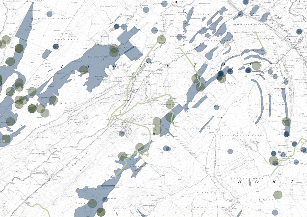
GeoRisk certainly has this covered. With Groundsure’s extensive database of historical land use alongside unique and extensive records from Mining Searches UK and data from a comprehensive range of other sources, GeoRisk provides extensive insight into mining legacy nationwide. GeoRisk’s assessment of other minerals is written by an expert mining consultant, providing the reassurance and confidence of a tailored outcome in every report.
So that’s mining covered. All mining. But it doesn’t stop there. GeoRisk is full of innovative data and assessment covering all aspects of natural and non-natural ground hazards.
GeoRisk includes satellite recorded ground movement data, tailored for property-level assessment. Actual measurements taken by satellites from space! Provided by SatSense, ground movement experts at Leeds University, the data is accurate to the millimetre and is updated every six days. It assesses six types of movement, five of which are new to conveyancing searches, and any of which could indicate subsidence in a property.
New data from geological authority the British Geological Survey is included; their new Property Shrink-swell Hazard Score. It gives a property-specific indication of susceptibility to shrink-swell subsidence given underlying geological properties, the proximity of trees (using Bluesky National Tree Map), and the characteristics of local buildings. GeoRisk brings this brand new data to the market for the first time.
GeoRisk is also first-to-market with coastal erosion data in a conveyancing search, providing an assessment of risk to property from loss of land to the sea. Projections on impact are provided on short-term risk alongside potential risk to long-term property investment and given different scenarios of coastal defense investment.

There is also a sinkholes module, full of extensive and unique records of recent and historical incidents sourced, geology data indicating susceptibility to ground stability, and records of infilled land and landfills with the potential to cause subsidence.
Phew! There is a lot of content.
Another aspect of the GeoRisk solution is GeoRisk Certificates; certificates that give a cost-effective clean bill of health on mining and ground stability risks. We wanted to ensure that our certificate products were true ‘all-clear’ products – we don’t want to sell a ‘certificate’ only for it to recommend the purchase of another, more expensive product. As such, two certificates are available; one covering coal and brine and another covering all other minerals and ground stability.
Now, we’ve possibly saved the best until last. The alerts that deliver the GeoRisk reports have been created from painstaking analysis of a huge range of relevant data and they will only recommend a report when one is needed. If a report is recommended there will always be useful content and value provided in the form of information and advice. What’s more, we will not sell you unnecessary content – if you don’t operate on the coalfield the more cost-effective GeoRisk report will be recommended (versus the GeoRisk +) and no pennies will be wasted on coal data you know you don’t need.
Not a broad-brush in sight.
All of this wrapped up in the usual design and usability excellence you have come to expect from Groundsure. We’re proud of GeoRisk. Why don’t you make it your new standard practice?
To find out more about this exciting new product click here where you can find out more, download samples, benefits guides and find out why this is the new must buy ground stability and mining report.

